
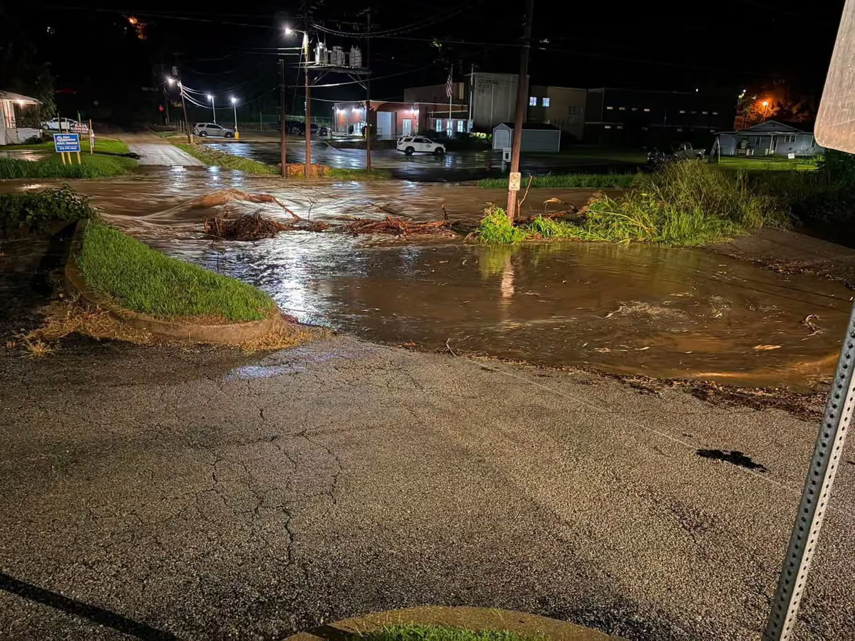
The state of Missouri, USA, has declared a state of emergency after days of torrential rainfall triggered catastrophic flash flooding across central, south-central, and southeastern parts of the state.
Governor Mike Kehoe activated Missouri’s emergency response plan as rapidly rising floodwaters inundated communities, forced numerous swift-water rescues, and left roads, homes, and campgrounds underwater.
Authorities warn that the danger is far from over, with additional heavy rain expected through the weekend.
State of Emergency Activated
Governor Mike Kehoe signed the emergency declaration to allow state agencies to coordinate resources more efficiently and provide immediate assistance to affected communities.
The declaration activates Missouri’s Emergency Operations Plan, enabling emergency services to deploy personnel, rescue equipment, and specialized response teams wherever they are needed most.
“Over the past 24 hours, intense storms have created dangerous flash flooding across several regions of Missouri,” the governor said, praising first responders working around the clock to save lives.
Up to 12 Inches of Rainfall
According to state officials, some areas have already received between 6 and 12 inches (150–300 mm) of rainfall.
The relentless downpours have overwhelmed rivers, creeks, and drainage systems, producing life-threatening flash floods across large portions of the state.
Entire neighborhoods, roads, and recreational areas have been inundated as water levels continue to rise.
Numerous Water Rescues Underway
Emergency crews have carried out multiple swift-water rescues after motorists and residents became trapped by rapidly rising floodwaters.
The Missouri State Highway Patrol, State Emergency Management Agency, Division of Fire Safety, Missouri State Parks, and the Missouri Department of Conservation are all participating in rescue operations alongside local emergency services.
The Missouri Urban Search and Rescue Task Force has also been deployed, bringing 50 highly trained rescuers, specialized rescue equipment, and multiple rescue boats.
Flash Flood Emergency Issued
The National Weather Service (NWS) issued a rare Flash Flood Emergency for parts of Iron and Reynolds counties, the highest level of flash flood warning issued when catastrophic flooding poses an immediate threat to life.
Flash Flood Warnings remain in effect across several counties, including:
- Iron
- Reynolds
- Andrew
- Madison
- Washington
- Buchanan
- Crawford
- Clinton
- DeKalb
- Holt
Meteorologists warn that additional thunderstorms are expected to repeatedly move over already saturated ground.
More Severe Weather Expected
Forecasters say the threat extends beyond flooding.
The National Weather Service warns that additional storms could produce:
- Torrential rainfall
- Damaging wind gusts
- Large hail
- Isolated tornadoes
Meteorologists stress that soils are already saturated, meaning even moderate additional rainfall could quickly trigger new flash flooding.
Residents Urged to Stay Away from Floodwaters
Governor Kehoe urged residents to remain vigilant, especially those camping, boating, or spending time near rivers and streams.
Emergency officials continue reminding the public of the well-known safety message:
“Turn Around, Don’t Drown.”
Most flood-related fatalities occur when drivers attempt to cross flooded roads, where moving water can quickly sweep away vehicles.
Authorities strongly advise residents to avoid unnecessary travel until weather conditions improve.
Flood Threat Continues Through the Weekend
Weather forecasts indicate that repeated rounds of thunderstorms will continue affecting Missouri throughout the weekend.
Emergency managers remain on high alert as rivers continue rising and additional rainfall threatens to worsen an already dangerous situation.
Officials warn that flooding conditions could continue for several more days before water levels begin to recede.


